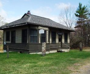
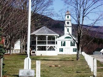
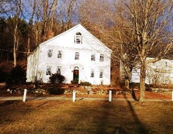
Wentworth

Wentworth, incorporated in 1766, is set atop an elevated tongue of land; the village has been noted since the 19th century for its charm and more than its ordinary share of beautiful landscape. Wentworth was a lumber producing town until 1856 when dams on the Upper and Lower Baker ponds in Orford breached during a flood washing away Wentworth's riverside mills, houses, barns, sheds and roads. The town is home to Plummer's Ledge Natural Area, and part of the White Mountain National Forest is in the northeast.
According to the United States Census Bureau, the town has a total area of 42.0 square miles. The town is drained by the Baker River and the South Branch Baker River. The highest point in Wentworth is Carr Mountain, at 3,453 feet above sea level.
Resident students attend Wentworth Elementary School until grade 8 then move on to Plymouth Regional High School.
Places to Stay in Wentworth Places to Eat in Wentworth Places to Live in Wentworth Things to do in Wentworth Schools for Residents of Wentworth
Recommended searches:
Search by similar criteria:
According to the United States Census Bureau, the town has a total area of 42.0 square miles. The town is drained by the Baker River and the South Branch Baker River. The highest point in Wentworth is Carr Mountain, at 3,453 feet above sea level.
Resident students attend Wentworth Elementary School until grade 8 then move on to Plymouth Regional High School.
Places to Stay in Wentworth Places to Eat in Wentworth Places to Live in Wentworth Things to do in Wentworth Schools for Residents of Wentworth